


Looking back towards the boat launch at Kejick, Iskatewizaagegan #39 First Nation
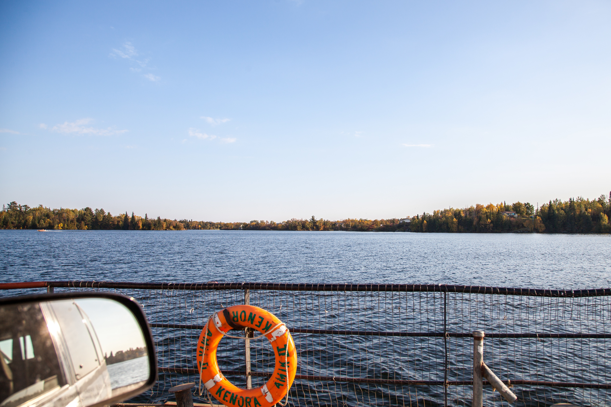
The view from the passenger seat of our van onboar the Shoal Lake barge Amik en route to Shoal Lake 40.
Our van is transported from Iskatewizaagegan #39 First Nation to Shoal Lake #40 First Nation.
Looking back towards Iskatewizaagegan #39 First Nation on board the Amik.
Shoal Lake barge Amik and its crew.
The Amik departs Shoal Lake #40 First Nation after dropping us off.
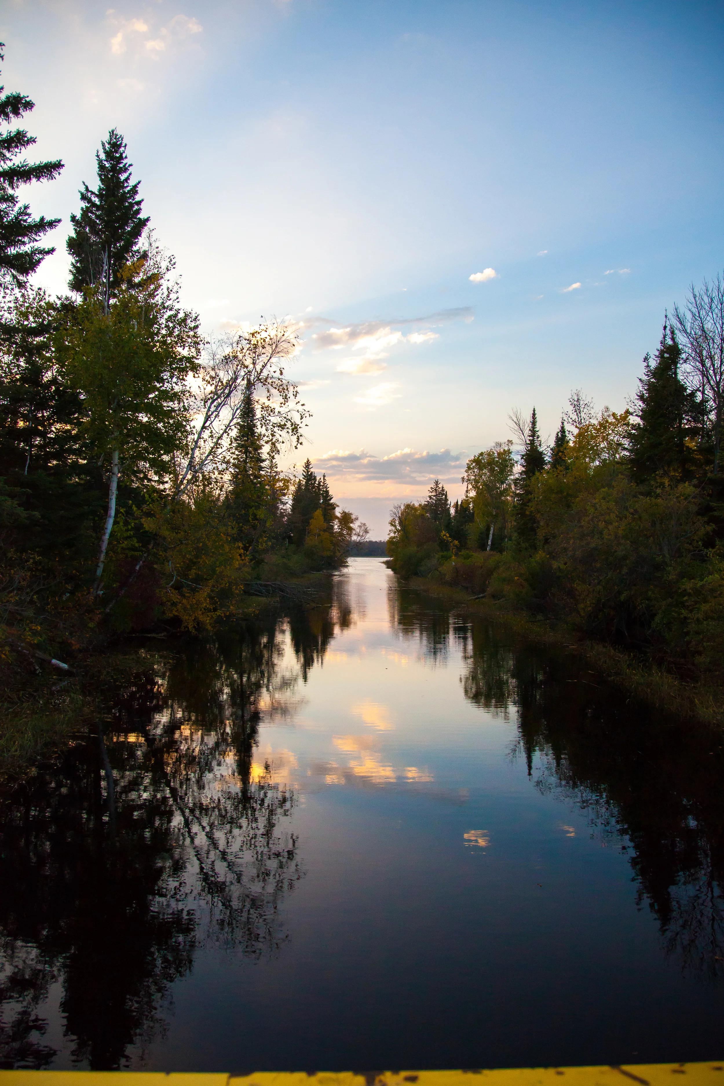
Our first glimpse of Shoal Lake #40 First Nation.
Roadside Shoal Lake #40 First Nation.
Shoal Lake #40 First Nation has no sewage infrastructure or road access to dispose of it properly. The clearing beyond this trail acts as an open air sewer where residents empty their septic tanks.
Shoal Lake #40 First Nation has no sewage infrastructure or road access to dispose of it properly. The clearing beyond this trail acts as an open air sewer where residents empty their septic tanks.
Due to the lack of road access Shoal Lake #40 has no means of transporting it's trash out of the community. This part of the island is used as a dump. Holes are dug, filled and covered, but the dump is quickly filling beyond its capacity.
Packs of feral dogs roam the island, congregating at the dump to forrage for food.
Due to the lack of road access Shoal Lake #40 has no means of transporting it's trash out of the community. This part of the island is used as a dump. Holes are dug, filled and covered, but the dump is quickly filling beyond its capacity.
Stuart Redsky, our guide from the community, tours us around Shoal Lake #40 First Nation. Stuart has been giving tours and educating people about the dire conditions in Shoal Lake since the 1980's.
Stuart Redsky, our guide from the community, tours us around Shoal Lake #40 First Nation. Stuart has been giving tours and educating people about the dire conditions in Shoal Lake since the 1980's.
Stuart Redsky, our guide from the community, tours us around Shoal Lake #40 First Nation. Stuart has been giving tours and educating people about the dire conditions in Shoal Lake since the 1980's.
The canal connecting Indian Bay and Snow Shoe Bay. The City of Winnipeg built the canal to direct runoff and poluted water away from the primary intake that feeds Winnipeg clean water.
The canal connecting Indian Bay and Snow Shoe Bay. The City of Winnipeg built the canal to direct runoff and poluted water away from the primary intake that feeds Winnipeg clean water.
The canal connecting Indian Bay and Snow Shoe Bay. The City of Winnipeg built the canal to direct runoff and poluted water away from the primary intake that feeds Winnipeg clean water.
Stuart shows Brian our location on the maps, pointing out the canal we stand over and that aquaduct was built to transport water to Winnipeg.
Looking towards the bridge over the canal. In the winter this road can be used to connect Shoal Lake #40 to the mainland and the Transcanada, however in the Spring, Summer and Fall the road is overtaken by swamp land and cannot be used as an access point.
The sun sets over Snow Shoe Bay. The water in this part of Shoal Lake is heavily polluted. Viewed closesly it has a reddish tinge, and a noticeable smell. Swimming or washing in it causes one to break out with rashes and blisters. It cannot be drunk and Shoal Lake #40 lacks a proper water treatment centre.
Indian Bay, the part of Shoal Lake that the City of Winnipeg draws its water from.
Indian Bay, the part of Shoal Lake that the City of Winnipeg draws its water from.
The sun sets over Snow Shoe Bay. The water in this part of Shoal Lake is heavily polluted. Viewed closesly it has a reddish tinge, and a noticeable smell. Swimming or washing in it causes one to break out with rashes and blisters. It cannot be drunk and Shoal Lake #40 lacks a proper water treatment centre.
The sun sets over Snow Shoe Bay. The water in this part of Shoal Lake is heavily polluted. Viewed closesly it has a reddish tinge, and a noticeable smell. Swimming or washing in it causes one to break out with rashes and blisters. It cannot be drunk and Shoal Lake #40 lacks a proper water treatment centre.
The sun sets over Snow Shoe Bay. The water in this part of Shoal Lake is heavily polluted. Viewed closesly it has a reddish tinge, and a noticeable smell. Swimming or washing in it causes one to break out with rashes and blisters. It cannot be drunk and Shoal Lake #40 lacks a proper water treatment centre.
The sun sets over Snow Shoe Bay. The water in this part of Shoal Lake is heavily polluted. Viewed closesly it has a reddish tinge, and a noticeable smell. Swimming or washing in it causes one to break out with rashes and blisters. It cannot be drunk and Shoal Lake #40 lacks a proper water treatment centre.
Stuart Redsky gestures towards the land on the Western edge of Shoal Lake, the traditional territory of his people where sacred burial sites are left inaccessible to the people of Shoal Lake #40 First Nation as the land as been expropriated by the City of Winnipeg.
Contaminated water from Shoal Lake near the shore.
Stuart Redsky stands by the No Tresspassing sign that marks the border of the land the City of Winnipeg expropriate from Shoal Lake #40 First Nation.
Brian stands by the No Tresspassing sign that marks the border of the land the City of Winnipeg expropriate from Shoal Lake #40 First Nation.
The City of Winnipeg emblem can be seen on the No Tresspassing sign marking the land it expropriated from Shoal Lake #40 First Nation.
The aqueduct that divides Shoal Lake.
Stuart Redsky stands by the fence that marks the border of the land the City of Winnipeg expropriate from Shoal Lake #40 First Nation.
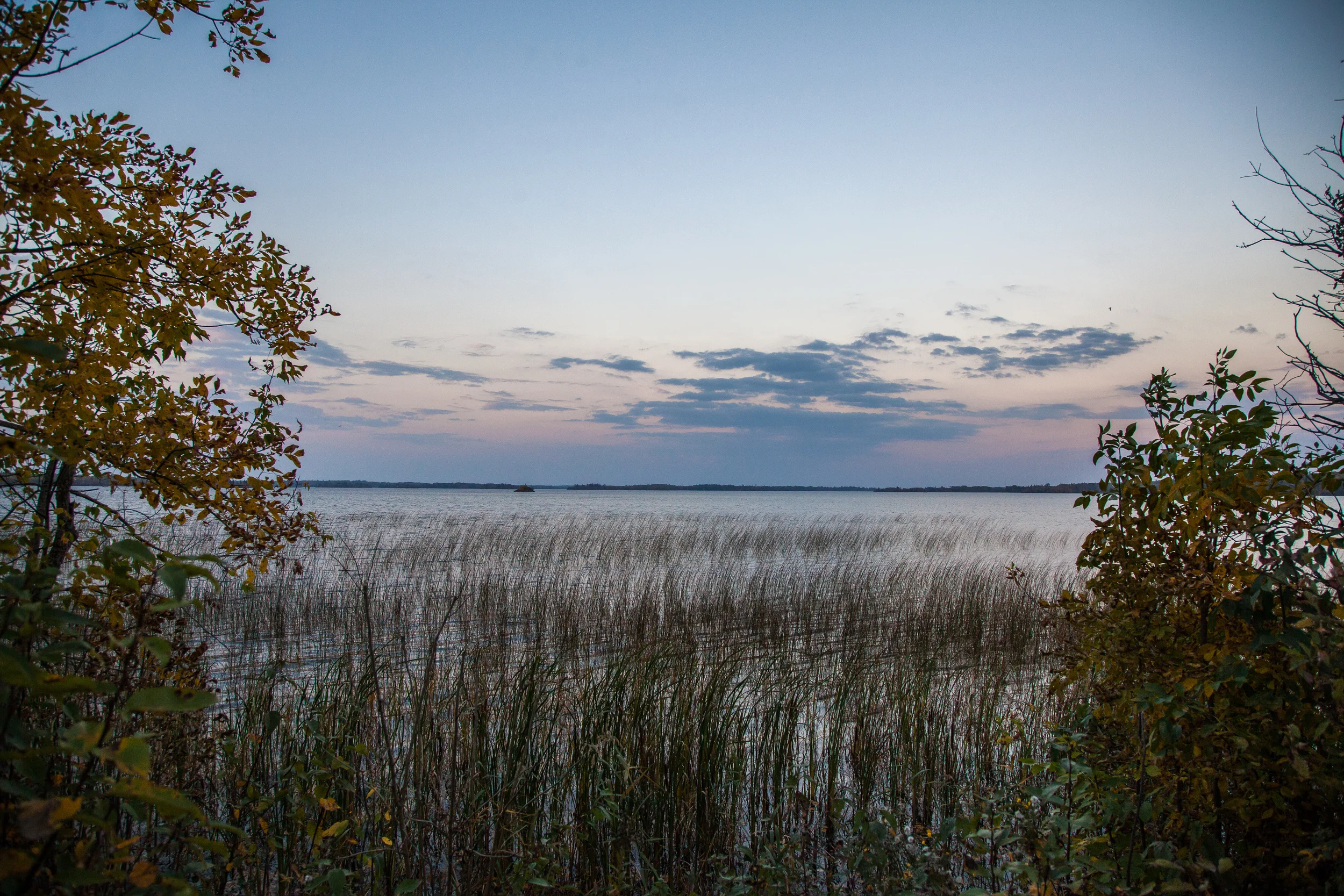
Shoal Lake water and reeds
Shoal Lake water and reeds
The Moon rises over Shoal Lake #40 First Nation.
A map showing the plans for expropriating lands and buiding the infrastructure to feed the City of Winnipeg's water.
Stuart Redsky stands in front of a wall plastered with newspaper clippings in the Shoal Lake #40 medical and community centre.
A letter from Indian Agent R.S. McKenzie to the Prime Minister Robert Borden regarding the plans to expropriate two hundred and eighty-eight acres of lands as well as Indian Bay and the islands therein.
A letter from Mayor Sam Katz to the people of Shoal Lake explaining why he was abscent from attending a feast and day of information that he and other officials were invited to.